Hiking trails of hanson
Veterans memorial forest

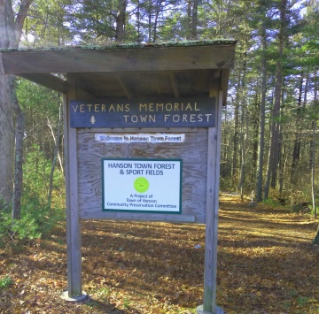
Along route 58 is an almost unnoticeable set
of hiking trails that make up the Hanson
Veterans Memorial Town Forest.
On google maps the area is marked
as Camp Wampatuck,
though there's no readily available
information that proves
this is the actual spot where that camp existed.
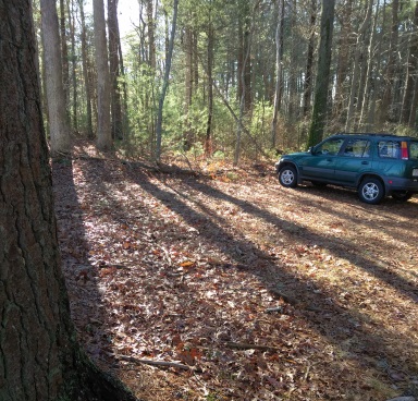 The small parking area can only handle a few vehicles. Best for SUVs and others that sit higher above the ground.
The parking lot is located right on
route 58, care is needed pulling in
from this busy route, and the lot
is a bit rough going in.
Another parking area is located just before the forest if you are heading south on route 58.
This one is primarily used for those using the sports fields below.
It is larger and there is a hiking trail along the skate park that leads into the town forest.
It is the better option for those in cars that sit lower to the ground.
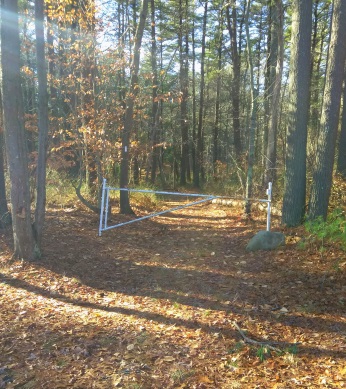
From the small parking lot at the Hanson town forest sign,
the main hiking trail is an easy, fairly wide cart path leading into the forest.
You will soon see the familiar white rectangle blazes that mark the way of the Bay Circuit Trail. (BCT)
Quite quickly down the main hiking trail, it turns to the right and meets an intersection.
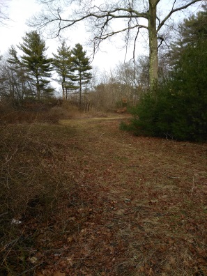
The main trail goes left here.
The trail continuing straight is
very inviting looking.
It soon becomes meadow like and
you will find a bird house
and a trail side bench.
This makes a sweep up to the right and continues up to route 58.
The path connecting you to the sporting fields leads in here.
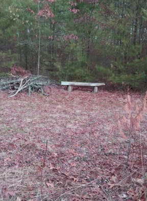
At the bird house there is a narrow path that leads
into the forest.
This will meet the main trail on the way down to the pond edge.
It is useful in making a loop trail through the forest.
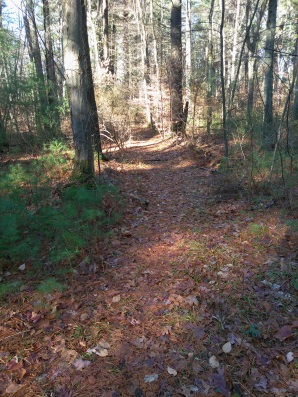
Back at the intersection and following to the left
on the main trail through the forest, another
white blaze will greet you.
The first of many fallen trees are the next feature
of the hiking trails here.
Most are easily stepped over.
In late winter I can see a neighborhood to the left through the forest.
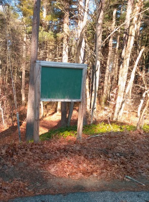 At the cul de sac on Indian Trail in Hanson you will find this sign next to a trail into the town forest.
At .11 the trail turns to the right again.
Shortly after the trail divides at a large pine tree.
Going left will bring you out to the neighborhood.
A cul de sac on Indian Trail.
There is a trail sign at the street but is blank and painted green.
This would be a good place to park
in the event of heavy snow if you are
looking to do some forest snow shoe hiking.
The main trail continues taking a sharp right turn at the intersection with a large pine.
It then runs through an area that seems to be low land and prone to wetness.
Even in winter long grass appears here. Soon after, the trail climbs a bit and continues pine needle laden.
At .17 another trail intersection. This one comes in from the right and connects the main trail to the narrow trail that leads out of the meadow.
It slices across the main trail and continues on to the left. I continue straight and the hiking trail soon narrows.
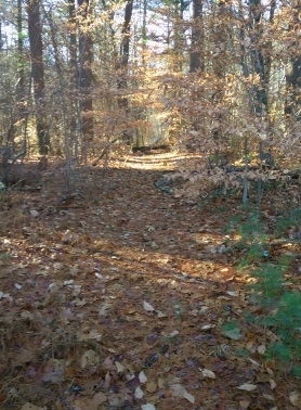
At 1/4 mile the main trail and the narrow meadow
trail intersect.
Here you will take a left as the two trails now
continue as one.
There will be several fallen trees to navigate over.
Only the first is of any real challenge, but barely any.
You will be leading downhill and after the fourth fallen
tree you will start to notice the water.
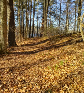
There will be what appears to be a small
esker to the right.
Though I did not find any evidence
to support that notion.
Usually sandy or rocky at the top.
At .28 another trail leads off to the left.
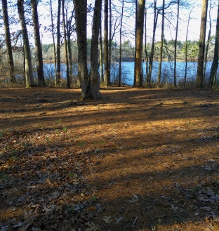
Just after, there is a large clearing.
I noticed a sign on the ground claiming the area to be Tupello Campsite.
There are a couple of small simple benches here and a short path to the pond's edge.
The ponds edge comes out to .30 miles.
There is a faint trail to the left side of the campsite.
On the way down the trail I noticed
just after the esker there is a faint trail to the right.
Took the time to explore this area.
It appeared to have a faded BCT blaze, but the trail soon faded.
If this had been the original way of the BCT it was changed probably due to construction.
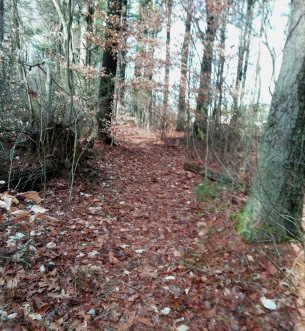
Continuing back up the main trail,
I took the trail that lead off to
the left,
( now on the right).
This is a narrow path that runs upland
from the pond and parallel to it.
It curves, becomes a bit overgrown,
then descends slightly into an area
that maybe wetland other times of the year.
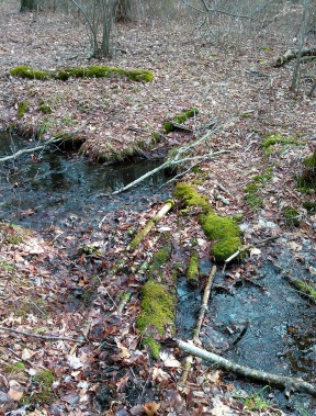 Rustic makeshift crossing.
The hiking trail then becomes more defined
and crosses a stream on a makeshift bridge
made with forest material.
There is evidence of animal traffic here as well.
It continues narrow and along a more overgrown area,
then on through a more pronounced wet area.
At .45 of the journey the narrow path now makes a "T" intersection with the hiking trail that sliced across the main trail down.
Here I went right and soon found myself at another stream crossing.
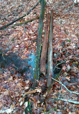
Another makeshift bridge of slippery logs.
Had to rearrange them to make them stable!
This end of the hiking trail makes a loop.
A trail leading straight leads out to another pond view point.
Two other trails lead uphill. One defined and looking like the trail up.
The other looks less maintained and only looks like it is a water runoff.
Most likely it is both. Water runs down this trail giving it the unmaintained look.
Either trail will start gently uphill but become almost strenuous.
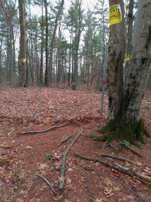
At the top, it meets a fence with beautiful, well
cleared land on the other side.
There is an abundance of no trespassing signs.
One can see the need for the signs, as it appears
someone previously cut through the fence.
The hiking trail runs along the fence for a short distance and comes to an abrupt stop.
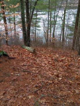 Abrupt end to the hiking trail overlooks an obstructed view of the pond below.
It ends at a steep hill that runs down
to the water's edge.
Here I can imagine the trail continuing
down this hill along landscape tie steps
to benches at the water's edge.
This would be a much nicer ending to this trail!
Turning around and taking the 2nd trail down is just as steep as coming up.
Almost forces you to run down it.
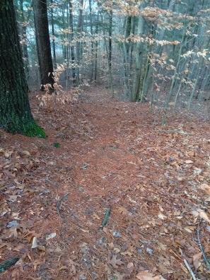
Followed my steps back over the
makeshift bridge and on to the
"T" intersection.
I now continued straight.
This will soon bring you to the
other campsite in the Hanson town forest.
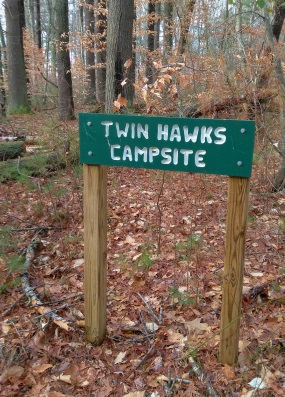
Another simple clearing with a bench.
This one has it's sign intact at .57miles.
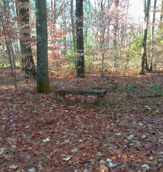 The simple lone bench at Twin Hawks Campsite.
Continuing on, the trail will now climb gently and soon after intersect with the main trail.
Here I continued straight instead of taking the right to follow back up to my vehicle.
Though, if you do go right,
you will now notice the bat houses
along the trail.
Somehow I missed these both of the times I visited previously.
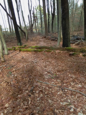
Continuing straight, this trail will intersect
the meadow trail.
It follows along, narrow
and easy to navigate, at first.
Soon it will pass an area with many fallen
trees, a bit difficult.
Soon after this area it intersects the meadow trail.
Here I go right.
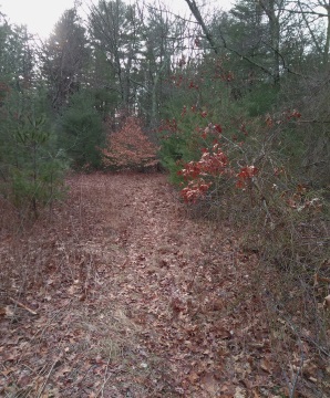 The end of the narrow trail leading out to the meadow area.
A short distance on this trail will bring
you out to the meadow area.
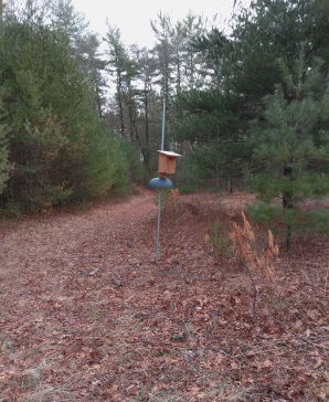
Go right and follow the main trail
back to the parking lot or go left
past the jersey barrier, along the skate park
fence and right on the uphill trail to
the sporting field parking lot.
My journey came out to 3/4 miles. Quick hiking in an interesting little forest!
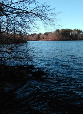 One of many views of the pond.
- South Shore Hiking Trails ›
- Hanson ›
- Veterans Memorial Town Forest
Trail
Quick Facts
Directions:
Use exit 38 on route 3. Follow route 18 south til the intersection of route 58. Take this right and follow through the towns of Abington, Whitman and finally enter Hanson. You will follow this route for several miles and route 58 takes a couple of deep turns. You will find a shopping plaza with Shaws supermarket, straight thru 2 light controlled intersections. The town hall will be on the right, and route 58 will again take a turn to the right at the intersection with route 14. Just after this will be the larger parking area on the right. The smaller trail head parking will be a couple hundred feet further on the right.
Parking:
2-4 vehicles at trailhead parking.
10 plus at the sport field parking area
Trail Time:
Light:
This route described is probably only 1/2 mile it included exploration of a faded trail.
Difficulty:
Mostly Easy:
The hill at the far end is the only challenge here except climbing over a fallen trees here and there.
Water sources:
Wampatuck Pond
a couple of streams flowing into the pond which may be dry mid summer.
Other activities:
snowshoeing in winter
possible camping (check with the town hall)


New! Comments
Have your say about what you just read! Leave me a comment in the box below.