hiking trails of marshfield
Two Mile Reservation
including the Jose Carreiro woodland

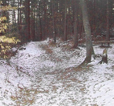
Set back and easy to miss are the network of hiking trails of Two Mile Farm Reservation.
Named after the historical farm next to it, which has existed since colonial days.
The original owners, the Hatch family, harvested the salt hay along a two mile stretch of the North River.
This property is owned by The Trustees of Reservations. As with many of their properties, the trails are wide and well maintained.
The entrance can be easily missed as Union St in Marshfield is a busy street that links Route 139 to the Marshfield Hills area and continues on to connect to Bridge St and on to Norwell.
It is popular for back road travel.
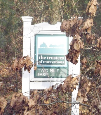
Once heading down Union St, look for Mill Pond Dr. on the right.
Across the street diagonally there will be two drives. One marked #291, next to it on the left is the drive for the reservation. In Winter and early Spring the sign is easily seen, but a bit small.
In months of vegetation the sign can get covered over.
The way leads uphill to a moderate sized parking area with a kiosk.
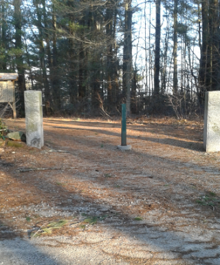
Start your hike through the two granite posts where the hiking trail is wide, pine needle laden with random tree roots.
Soon there will be a rock wall lining the trail and glimpses of the working Two Mile Farm to the right.
There will be a couple trails heading that way, but this is private land.
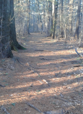
What appear to be blank blocks of wood soon appear as trail markers on pine trees. These may be the white markers referred to on the trustees website.
At .14 a trail leads to the left. This is the end of the two property trail loop.
Once you know the property it can be used as a short cut to areas of greater interest.
Continuing straight, there will be a slight uphill grade and an increase in tree roots across the hiking trail.
The trail crests the hill and then moves downhill more moderately than it's uphill grade.
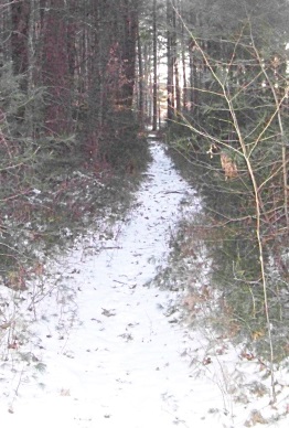 intriguing trail that leads to private property
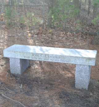
At .29 it comes to an intersection with a bench.
To the right will eventually lead once again to private property. To the left will short cut the loop on this end.
Continuing forward, the trail climbs slightly and then descends again this time becoming almost steep.
There is evidence that water runs off here as the way becomes rocky as well.
Leaves pushed to the side and a separate “path” in the center of the cart path support the water runoff theory.
At just before a half mile the trail levels and glimpses of the North River marshes can be seen through the trees. The hiking trail curves to the right and enters a more open forest.
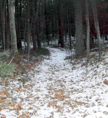
At .55 there is a trail intersection. There are trails to the right, but a sign warns that you are at the reservation boundary.
Beyond are private lands.
There are two paths to the left. A narrow trail that leads along the river's edge and the hiking trail loop marked by the block markers to the far left.
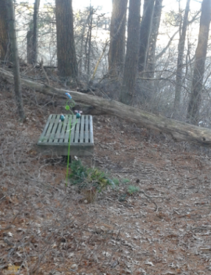 Plenty of seating along the way.
Continuing on the wide trail at .80 both trails meet at another intersection with a bench that has been adorned.
The trail continues straight and takes a moderate “dip”.
Something a mountain biker would love, but unfortunately bicycles are not allowed in the reservation.
Just after, the hiking trail splits with another narrow trail to the right, leading down once again toward the river and the main trail leading left, wide and marked.
At .88 the trail curves left and starts to head away from the river.
At .95 it intersects the lower portion of the trail from the first intersection onto the property with the first bench. This is where the two mile farm portion ends.
If just a short hike is desired, going left here will take another .14 miles but up a moderate to almost steep hill that will leave most winded!
You will arrive at the first bench, go
right and this hike will come in at just over 1 1/3 miles.
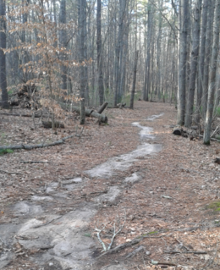
For a longer hike and to visit the Marshfield conservation property named Jose Carreiro Woodland, take a right at this intersection.
Now the hiking trail is extra wide and sandy in the middle. Soon the trail climbs and curves to the left.
It then climbs more moderately and at 1.05 a narrow marked trail leads to the right.
The other end of the first trail from the beginning of the journey leads left here, but we are not using it just yet.
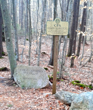
Continuing straight leads to the Jose Carreiro Woodland.
Just after the sign the trail straight leads to private property but arrows point to a hiking trail to the right on a marked trail.
The trail leads downhill gently at first but becoming moderate.
Once downhill it immediately climbs uphill and comes to an intersection at 1.15 miles.
Arrows point to the right, yet the trail on the left has markers along it.
This proves to be another loop hiking trail.
Taking the right, the trail climbs moderately, you will get a good climb here!
Views of the river start to open up on the right and a marshy looking vernal pool is on the left.
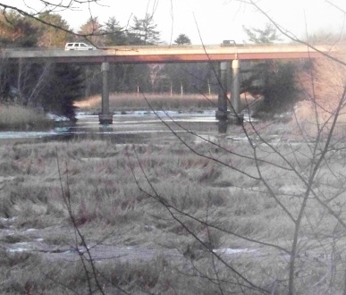
At the top of the hill is another intersection. Arrows point to the right and the trail to the left appears to be a short cut.
The river views are to the right, so right is where I go here!
The trail now runs downhill and becomes exposed to winds that blow off the river.
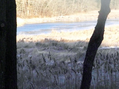 An amazingly blue North River in late winter
The trail leads down at 1.27 miles to a scenic spot where views of the river not just the marsh can be seen.
You can see a considerable way down the river as well as the bridge that route 3 crosses the river on.
The trail continues downhill a bit turning left and then levels.
At 1.33 intersects the other end of the short cut. The hiking trail now runs close to route 3 where it becomes noisy at rush hour, but the look of the forest is serene.
Quite a contrast.
The trail will turn left and move away from the traffic zone. There will be a climb over a fallen tree, unless maintenance crews remove it and then the trail will pass through a stand of baby pines.
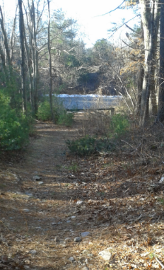
At 1.52 the trail comes to an intersection.
The trail goes left here, the trail to the right leads to the end of Maryland St, an alternate parking spot which should be considered in winter after heavy snow has fallen.
Many of the parking lots for hiking trails are not plowed out right away.
Good to know if you are looking to get on the trails with some snowshoes or a pair of skis!
Continuing on the trail to the left, there will be a gentle climb and the trail will wind through pleasant forest with arrows pointing the way as some trails will lead in from the right. More trails leading to private property.
After these side trails the main
hiking trail will start a downhill jog and will turn to the right and
become steep.
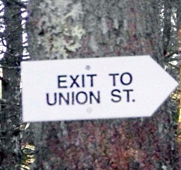 one of many arrows leading you through the reservation
This leads back to the intersection with the Carreiro Woodland sign.
At 1.78 a sign leading you to the right on a trail to leave and go back to the parking lot.
This trail out has a short steep climb and at 2.07 leads along a rock wall.
The trail then runs level and at 2.15 intersects the main trail.
Taking a right brings you back to the parking lot at 2.25 miles.
- South Shore Hiking Trails ›
- Marshfield ›
- Two Mile Farm
Trail
Quick Facts
Directions:
from route 3 exit 27 head east on route 139. Take a left on Old Oak St which will soon become Union St. in Marshfield.
Main Entrance:
Look for Mill Pond on the right (2nd right).
Across the street is the driveway like entrance with the sign.
Winter parking:
Approx. 1/2 mile on left is Maryland St. Follow to the end where the gate is located.
Parking:
8-10 vehicles at main entrance
5-6 at end of Maryland
Trail Time:
Light to Moderate
Difficulty:
Mostly easy, couple of short steep sections
Water sources:
No good source, mostly marsh at the side of North River
Other activities:
snow shoeing , x country skiing

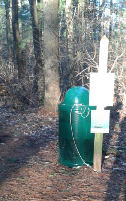
Trash barrels are a sight I like to see at any conservation area!


New! Comments
Have your say about what you just read! Leave me a comment in the box below.