hiking trails of hingham
Turkey Hill

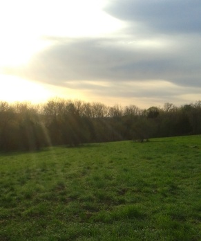
The hiking trails up Turkey Hill are a part of Whitney and Thayer Woods Reservation, a Trustee of the Reservations property.
What I like about this hike is it's location. Being a smaller portion, (turkey hill is 62 acres) on the side of a larger property, (Whitney and Thayer Woods are 824 acres) makes this trail one that can be made into many possible hiking trail routes.
Meaning it can be a short hike up the hill and back down again, or changed up by adding other areas to make it larger or kept simple and made into a loop.
I chose a loop route this particular day.
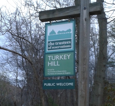
The parking area is located
on route 3A not far from
the Cohasset border.
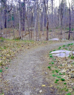
A quick boardwalk leads over to a wide gravel path with an information kiosk at the start of the hike.
The trail immediately starts with a sweeping turn and shortly comes to an intersection marked by a number 31.
The hiking trail up Turkey Hill leads gently to the right and starts a moderate climb uphill.
As you climb the trail there will be a couple of water bars across the trail.
Just after the second one there is almost a field of grape vines.
At about .13 the trail turns to the right and levels out.
Soon after views of the meadow at the top of the hill will come in sight.
Looking carefully to the right a narrow trail will lead off. This makes a side loop and leads to a stick teepee frame.
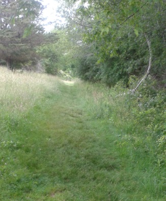
At .19 a post that once held a wire fence marks the entrance to the meadow portion of the trail.
Here, another trail junction.
The hiking trails from this portion of the hike are mowed grass trails.
My journey continued straight across the lower meadow.
The trail to the left leads straight uphill to the upper
meadow portion where one will find a loop trail around the upper meadow
area which in itself is approximately 1/2 mile loop.
Continuing straight across the lower meadow trail, at .25 the trail starts winding and begins to climb a bit.
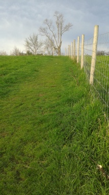
Shortly after at .28 it meets a wire fence
and turns more sharply to the left and
the climb becomes more moderate
once again.
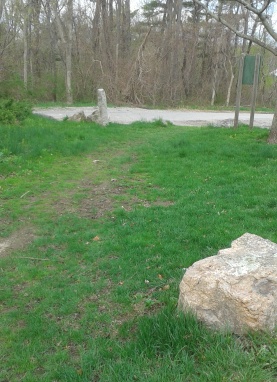
At .31 it meets the lower loop trail of the meadow loop trail.
I continue straight and soon after find a picnic bench at the top of the hill.
From
here there are limited views of a faraway ocean in Hull.
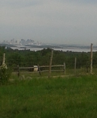 A hazy Boston in the background beyond the grazing cows of Weir River Farm
Continuing on to the parking area
at the top of the hill,
is where the Weir River Farm parking
lot is located on Turkey Hill Lane in Hingham.
Here I can see portions of the Blue Hills Reservation, parts of Boston and the Harbor with it's islands.
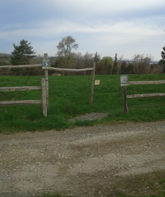 Across the parking lot is the trail to the Weir River Farm.
A larger hike could be made by continuing on the trail to Weir River Farm across from the parking lot, but I have limited time today.
There are two more options for making a loop hiking trail here.
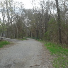 The paved portion of Turkey Hill Lane leading.....
The
paved portion of Turkey Hill Lane ends at a green gate.
It continues on
the property as a dirt road leading to a wide path in the wooded area
of Whitney Woods along the side of the meadow.
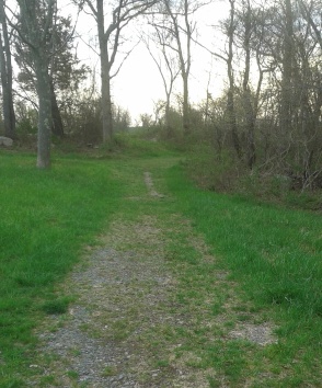 to the unpaved Whitney Woods portion of Turkey Hill Lane
This would be perfect for those who
want to explore on a bicycle.
Access is best from the Weir River Woods parking area.
( The trail from Turkey Hill parking lot is not suitable, nor are bicycles permitted on that route).
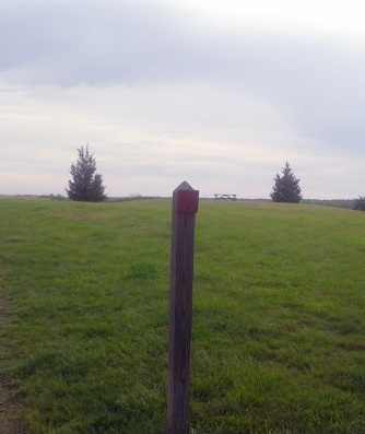
For those on foot who want to explore
the meadow a bit, follow
back to the meadow loop trail.
Heading back into
the meadow on the right, the upper meadow loop with red markers leads to
the right and past a building that seems to currently be a bird nesting
area.
The trustees web site says it's the remains of an anti-missile radar control station sited here during the Cold War.
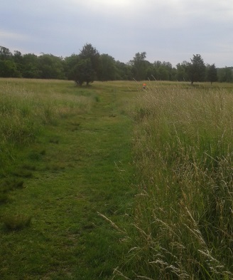
Continue through the meadow
following the red markers to the other
end of the meadow.
Along the way at .48 will be the intersection
of the trail that dissects the meadow loop.
I found wild strawberries in the field.
Another intersect will lead to the forest
portion of Turkey Hill Lane that runs parallel with the meadow trail.
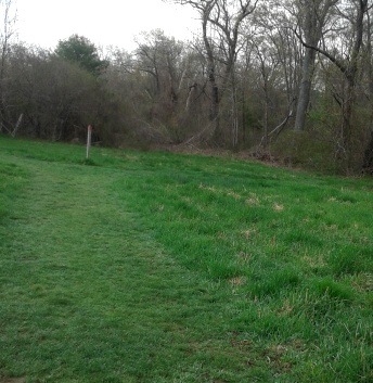 early spring the trail is green
Once down to the opposite end of meadow loop the red
square and our journey turns right.
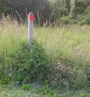 in summer it is adorned with many wild flowers
Following this red square trail into the forest
will lead over some rustic stone steps and
into Whitney Woods and onto Turkey Hill Lane
at .54 miles of our journey.
If
at the point of this hike, you decide on a smaller journey, you can
continue on the loop around the meadow.
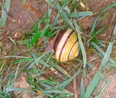
Hiking this loop another day I found a brightly colored snail on the trail in the grass!
One never knows what you will find hiking the
south shore hiking trails!
The trail will wind downhill a slight bit and
meet the trail that leads back down to the meadow entrance and follow
the original gravel trail back down to the parking lot which will finish
at 1.25 mile hike at 30-45 minutes.
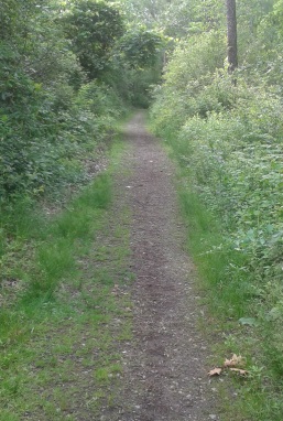
Continuing for the loop trail,
once on Turkey Hill Lane follow
right on the wide dirt road that
starts a moderate downhill grade
with the hiking trail becoming
increasingly rocky.
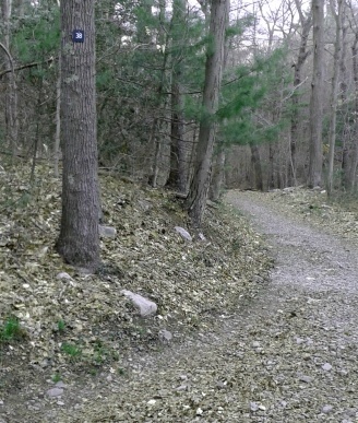
Shortly at .73 there will be an intersection marked by a number 38 and white square trail leading to the right.
Our route turns slightly to the left and continues downhill.
At
the bottom of the hill at .77 miles is another intersection marked by the
number 15.
Here the red square hiking trail goes straight and connects shortly with the newly renovated Whitney Spur Rail Trail. This trail is good for accessing Wompatuck State Park.
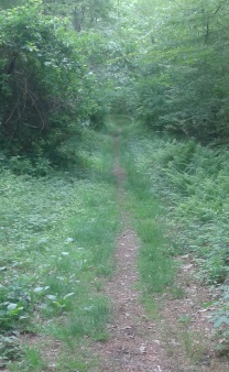
Our journey however,
turns left at this intersection and
continues on Side Hill Rd.
We are most likely, if not already
having done so, in Cohasset.
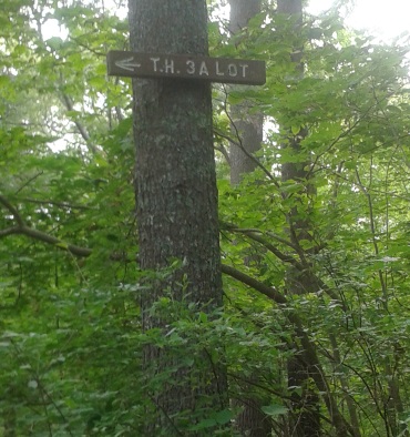
Continuing down on Side Hill Rd,
at .85miles of this loop hike,
a sign on the right points to a
narrow trail on the left leading
back to the parking lot on rt. 3A.
It is also marked as intersection #30.
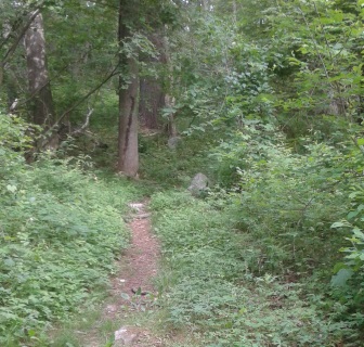
Taking this path on the left,
it leads along small and winding.
It then passes a rocky outcropping
on the right, then heads downhill a bit.
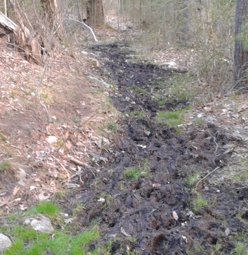 ruts made from bike tires make a mess of this trail
At .95 a cement wall with a fence above it appears on the left.
The trail turns left and leads through two areas of muddy patches along a small marsh area to the right.
Ruts made deep from bicycle use in this area show one reason why this mode of travel is prohibited on small trails like these.
There is a sign prohibiting bikes from the Turkey Hill trail, but not from the Side Hill Rd. side of this connector trail.
The
trail shortly thereafter climbs uphill once again.. It levels out and
crosses the entrance road to the Harbor View Nursing Home at 1.03 miles.
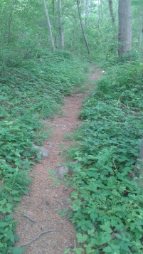
The trail continues directly across
and leads over a slow stream by
rock culverts.
Shortly after it comes upon the original intersection marked 31 at 1.11 miles and leads then back to the parking lot.
Total for this loop hike of Turkey Hill is 1.15 miles.
- South Shore Hiking Trails ›
- Hingham ›
- Turkey Hill
Trail
Quick Facts
Directions:
from exit 35 off route 3 follow rt. 228 north into Hingham till it's intersection with route 3A. Take a right on 3A and approx. 1/2 mile on the right is the Turkey Hill parking lot.
Parking:
approx. 8-10 vehicles
Trail Time:
Light: Loop trail 1.15 miles
trail up with meadow loop 1.25 miles
loop at top is 1/2 mile
Difficulty:
Moderate: loop trail uses lots of hills and rocky.
Water sources:
none on top of turkey hill
small stream on access trail to the parking lot.
one inside along Whitney Spur Rail Trail
Other activities:
bird watching; the meadow atop the hill is maintained in a way to attract grassland bird species.
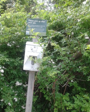 Dogs are welcome on Turkey Hill!
 Dogs and their owners will get good exercise here!

New! Comments
Have your say about what you just read! Leave me a comment in the box below.