hiking trails of marshfield
John Little Conservation Area

Of the hiking trails on Union st in Marshfield this one was the surprise.
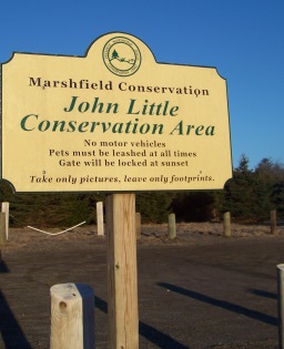
It starts at a highly visible parking lot at 915 Union st .
It is located just past Oak st on the left.
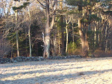
The front of the property is a large open field between two private residences in an area where many small farms exist.
One look at it and I only expected a walk across
that field and some paths crisscrossing in the
forest at the rear. Though there are some crisscrossing
paths, my journey was much more than expected.
When I had finished my exploration of this property, I had found that I walked close to three miles! I later learned there are 25 acres to this property!
The parking lot is large enough to hold 6-8 cars.
There are a line of pines near the entrance that help to give a bit of a border and some slight privacy to the front.
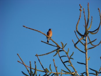
The first thing I noticed getting out of my car was the abundance of birds all happily singing away.
It was early morning and very early spring. Bright and beautiful and perfect for a day hiking trails.
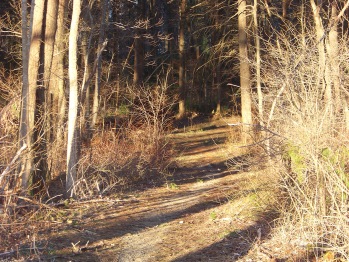
There is a well worn path across the field. As it gets to the forest edge an opening in the fence allows you to cross over and follow a cart path into the forest.
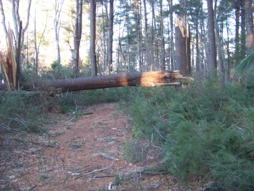
You will shortly see the devastation of past winters and blizzards as there are as many as 8 fallen pines found immediately as you enter.
Following straight, you will come upon a trail junction.
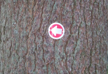
At this junction you will notice arrows on the trees.
Either way at this junction will bring you to the same place as these two trails are part of one large loop trail.
I followed straight here. On the left shortly afterwards you will again find another trail to the left. This is yet another loop that will come back out to this main trail just shortly further up from this point.
Following straight you will shortly find the other end of this loop trail and the main trail continues. Eventually it will cross over a small stream that may only be a runoff at this time of the year and I suspect will be dry in the summer.
There will be many places that the hiking trails are blocked by trees that have been blown down but are not impossible to pass.
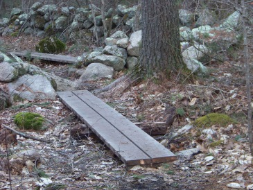
Many times there are areas where the trail is wet and there are planking walkways to help you over these areas.
The trail remains the size of a cart path. These paths most likely have been here many, many years if not right into Colonial times.
Harvesting salt hay was a major industry in those times and the North River was an abundant source.
There will be another trail junction. Here there will be an area that points to the left. I always follow arrows!!
Here the trail takes a gentle gradual downward slope. The trail leads down to an area that is next to some private property and you will start to see views of the North River and the marshes that grow along side of it.
The hiking trail at this point does not go straight down to the river, but turns and runs along parallel with it.
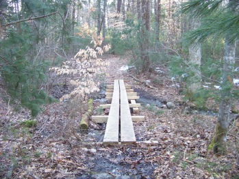
It then turns again and goes up hill a bit. Soon you will hear running water and you will find another plank crossing over a stream.
After this, you will find yourself at yet another junction of hiking trails with arrows pointing the way. Straight ahead is a gate and a keep out sign designating private property.
There were several small trails leading off this trail on my journey and places where signs were posted warning of private property.
The trail at this point takes a right and once again goes down hill.
You will soon hear the rushing water of the same stream that you crossed over.
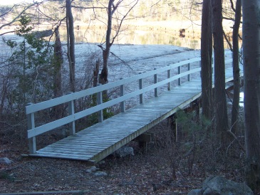
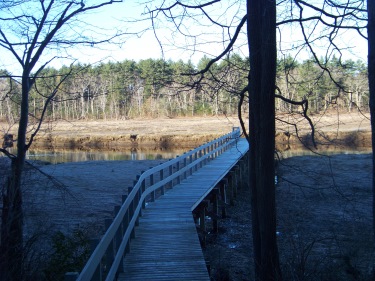
The trail comes to the bottom of the hill and takes a left and you will soon delightfully find yourself at a pier that goes right out to the North River.
There is a bench at the left , and a platform for more seating that at the time of my hike was in need of tree clearing.
A great high point for this little hike!

After spending some time enjoying myself, watching the ducks, and any other goings on at the river, I turned around and followed the trail back up to the junction with the original arrow that brought me down to the river from the loop trail.
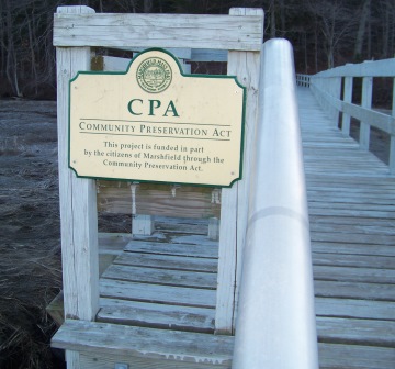
All the towns in this area should enact the Community Preservation Act. The John Little Conservation Area is a great example of why it is needed!
This time I followed the trail that would have been straight for me if I had not followed the arrow down to the river. This is the latter half of the original trail loop.
I found many more birds here, including several woodpeckers busy pecking away.
The trail finally came out to the original arrows that will lead you back out to the parking lot.
- South Shore Hiking Trails ›
- Marshfield ›
- John Little Conservation Area
TRAIL QUICK FACTS
Directions:
from Boston take route 93 south and route 3 at split. Take exit 27 route 139 east. Left at old Oak st (Pembroke) turns to Union St at Marshfield line just after turn. Trail head is approx. 1 1/4 miles on left just after Oak st.
Parking:
Well marked parking lot with space for 6-8 vehicles.
Trail Time:
Moderate,
1-2 hours
Difficulty:
Easy:
but littered and some slight to moderate grades
Water sources:
at least three in wet seasons
Other activities:
Bird Watching and X-country ski as well as snow shoeing in winter



New! Comments
Have your say about what you just read! Leave me a comment in the box below.