hiking trails of norwell
Hatch Lots Conservation Area

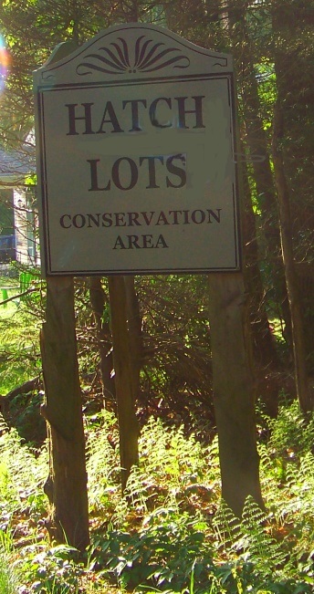
Hiking trails on the south shore are many times located on land
with historical value. The Hatch Lots are a good example!
In colonial times land was often divided up into lots. Lots were usually long strips of land that contained varied landscape with a direct purpose for the land for those who received them. The original purpose of this Lot of land was for wood, for heating and construction. The nearby swamp also provided white cedar prized for construction and for roofing shingles.
The name of the family who received this lot was Hatch. Anyone delving into colonial history on the south shore will time and time again run into the Hatch name. There were two brothers who originally settled in the Scituate area. Thomas and William Hatch.
Their descendants were many including the four brothers that inherited this lot and Walter Hatch who settled in the Two Mile area of Scituate which later became Marshfield. Two mile farm harvested the salt hay along the North River and is still in existence today. A reservation now next door bears it's name as well with hiking trails owned and maintained by the Trustees of Reservations.
The parking lot for this conservation area is located on Grove St. shortly after it's intersection with Prospect st. There you will find a kiosk with information about the area and a map. The same map can be accessed in the trail quick facts section on this page.
This area has me a bit stumped. I have hiked it several times trying to find the loop indicated on the map and have not found one??
There are 44 acres here with 1.6 miles of hiking trails. The Hatch Lots hiking trail map from the Conservation Commission in Norwell shows the main trail heading south.
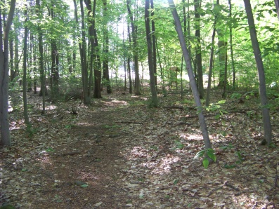 hiking trail leads out to Edgewood Park
The gray line at the top is Grove st. At the fork if you go right the trail comes to a second fork in the trail. Going left at this second fork will bring you to a side trail (what looks like a main trail continues on but fades and ends in private property) that leads out to Edgewood Park.
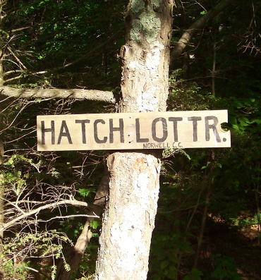 The sign marking Hatch Lots Trail from the pedestrian only entrance on Edgewood Park
Not having the map in hand on my first explore of the property, I mistakenly thought Edgewood Park was an actual park.
In reality this is a neighborhood road with a cul-de-sac. If followed out (going right) and taking a right on Loring Dr. and following to it's end, you will arrive at Prospect St.
Taking another right and following til Capt. Joshua Ln. across Prospect St you will find Prospect Trail in the Jacobs Pond Conservation Area.
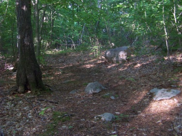 unofficial end of trail becomes obvious as the trail is not maintained after this point
Back in Hatch Lots, going right at the second fork, the trail ends at a rock but continues on not as well maintained. It fades off and ends in an open wooded area behind several private properties.
This leg of the hiking trails runs at it's longest point just short of 3/4 miles.
Back at the first intersection, going left follows to the portion that shows a loop on the map.
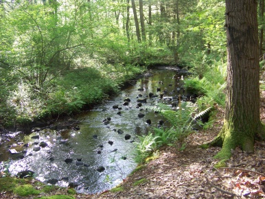
Shortly down the trail on this side you will come to an area that looks like it is perfect for making this loop.
The trail makes almost a "T" intersection.
Going to the right will bring you downhill
and over the third bridge in the area.
The trail then splits again, one fading off, the other becoming very faint but continuing for some length most likely off the conservation property.
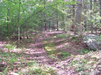 inviting narrow path that leads out of the conservation area
Back at the "T" intersection going left it will not be long til you come upon a no trespassing sign, the wide path continues on from here.
Whom ever is connected to this sign appears to be the person who is harvesting rocks from the forest.
You will find several holes where rock and boulder existed and have not been filled in.
Some before the no trespassing signs!
The main hiking trails through the area are wide and can support multi sport activity, but the lack of a loop or connecting trails makes it less enjoyable than it could be.
Yet this forest is very peaceful and serene. Almost every visit here I have encounter deer along the way.
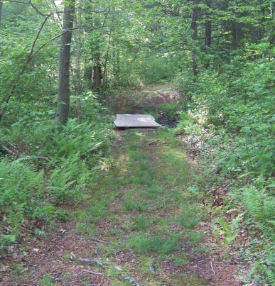
The first two bridges are not far from one another.
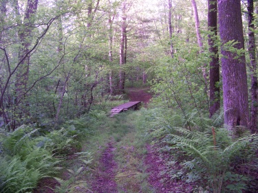
As the kiosk relates one is dry in
the fall and the other flows regularly.
BEFORE THE SPLIT OF HIKING TRAILS
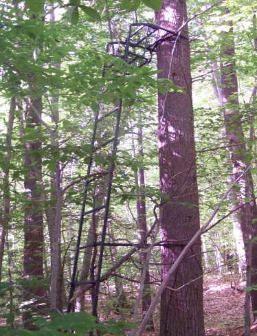 metal tree stand
If you look closely you will find many faint trails leading into the forest.
To the left you will see Burnt Plain Swamp.
Following one of these faint trails I came upon a metal tree stand near the edge of the swamp. Thought this might be a good place to sit and bird watch.
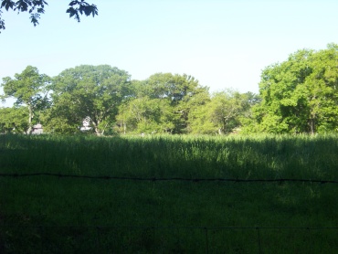
On the right of the main trail a
faint trail can be found that will
take you to the edge of the
fields at Hornstra Farms.
No cows the day I made my way out there. But I did see evidence of hunting in the forest.
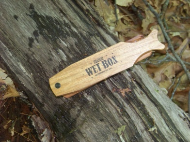 Someone lost their turkey hunting call box.
Generally hunting is prohibited here,
but this conservation area is mostly a
rather thin slice of land between sections
of privately owned property.
For hunting to be prohibited the property owners would need to post signs saying such.
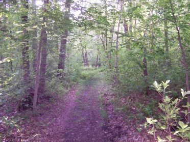
The first split of the hiking trails is at approx. 1/3 mile.
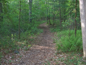
Before this, the hiking is easy going and is a blend of wooded path and at times turning either mossy or grassy.
After the split it becomes more rooted and rocky.
The beech trees become more noticeable as well.
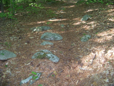
While most of the area is easy stepping,
there are portions that are rocky
or very rooted and care is needed.
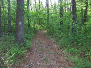
Though the conservation area
is well maintained and doesn't
need much marking,
the trails are marked
by white dots.
For a small conservation property there is more going on here than the map suggests. Much exploration if you go off the main trail. (If that is to your liking!)
- South Shore Hiking Trails ›
- Norwell ›
- Hatch Lots
Trail
Quick Facts
Directions: from exit 35 on route 3, follow route 228 north. Take a right on route 53. Follow to lights at Grove St, taking a left here. Continue to intersection with Prospect St. Hatch Lots Conservation parking is on the right after the intersection.
Parking:
lot can accommodate approx.4-6 vehicles
Trail Time:
Light 1.6 miles with extra for exploration
Difficulty:
Easy
Water sources:
three stream crossings one intermittent
Other activities:
bird watching, bicycling cut through, x country ski, snow shoeing


New! Comments
Have your say about what you just read! Leave me a comment in the box below.