hiking trails of abington
Dog Walk Trail

In Ames Nowell State Park there are many hiking trails.
Most of these trails have no names or ways to identify them. Some routes are taken often by many. The route that I am calling the Dog Walk Trail
is one such route.
I am calling this the dog walk trail because it seems almost everyone who takes a dog in this park follows this route.
On my revised map of Ames Nowell,
the hiking trail I have named the dog walk
trail is shown in green.
Trail description:
From the parking lot turn right following the main trail into the park.
This will go over a small stream.
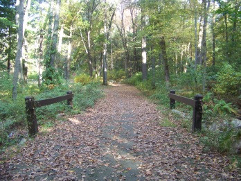
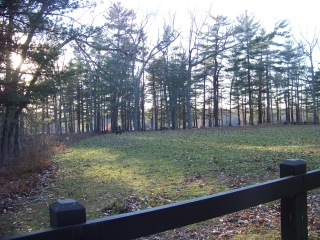
Then it passes the field where the swings formerly stood.
It is the closest field to the entrance and lined by a fence.
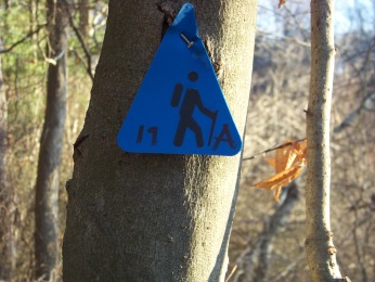
The Dog Walk Trail takes a right into the forest and is one of the trails that has been marked by the state park.
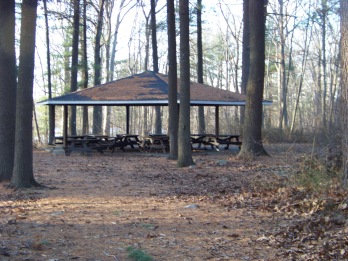
Taking this dirt road trail to the right will bring you past the boy scout pavilion.
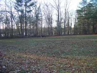
Another field will open up on your left.
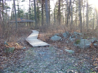
At the far left corner of this field is a plank walk to the pavilion.
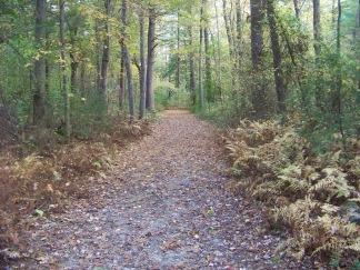
The trail is mostly an easy walk through the forest.
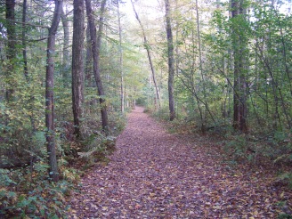
You will pass by trails on the right that will take you to an auxiliary parking lot that is rarely open now.
There are actually two extra parking lots.
There are restrooms at the first lot that if open at all, are only
open in the summer.
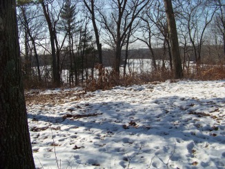
You will pass by another notable area where in the fall, winter and early spring good views of Cleveland pond open up.
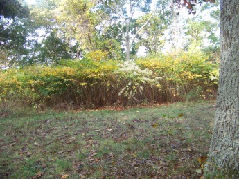
Most summer months though, it is heavy with flowering vegetation.
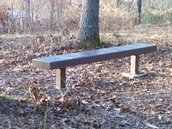
There was a bench here that was great for viewing the pond and I often think this spot would be a great place for a campsite.
Carry in only of course!!.
Apparently the bench was either removed????Or stolen???
It was a great place to sit in any season!!!
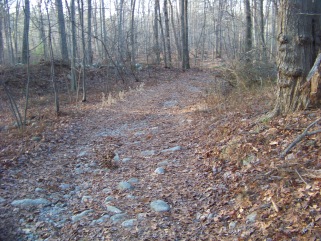
Continuing down this "road",
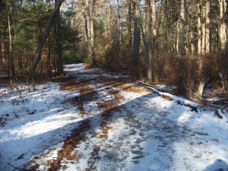
there will be a gentle downhill sloping
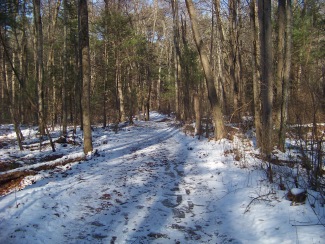
this will also become a bit rocky and wet in some seasons.
In winter it can be a skating field.
Dangerous really!
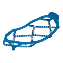
If you have a pair of these,
then in winter it is highly suggested you bring them along on the dog walk trail.
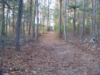
Finally the hiking trail will lead you to a pine needle filled ending
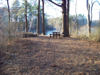
with a picnic table and bench beside an opening by Cleveland Pond.
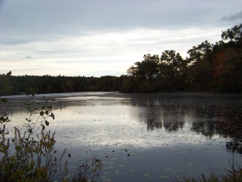
From here is the closest point to the largest island of several on this pond.
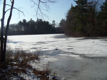
In winter if the ice has frozen solid enough you can just walk over to the island to explore.
wild life viewing on Cleveland Pond
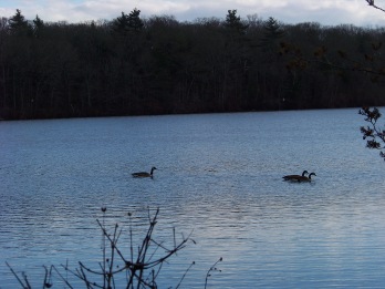
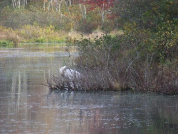
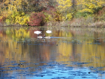
Stop for a few minutes and watch the ducks or geese.
Hopefully you'll catch a glimpse of the swan couple that reside on the pond.
Second half of Dog Walk Trail
At this point you will turn around and take a smaller hiking trail to the right that runs along Cleveland pond.
If you are continuing on for the around cleveland pond trail
you will find a trail to your left (as you are facing back toward the
trail you came in on)
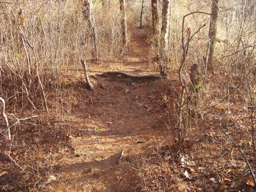
This portion of the dog walk trail, for some reason, many on mountain bikes like to use, though it is really more for hiking.
From the picture above I can see why they are enticed to use it.
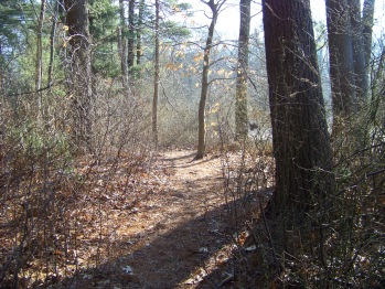
This portion of the hiking trail starts
off narrow and easy.
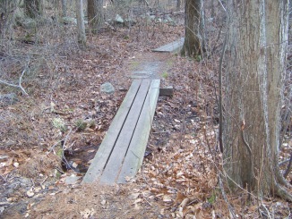
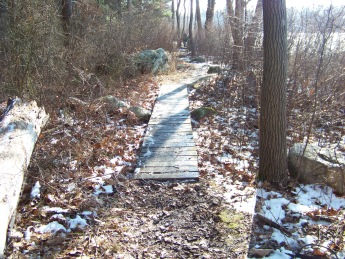
Goes over some board planking over a wet area
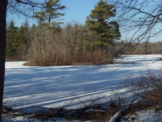
and soon the trail opens up a bit for a short time
SMALLER ISLAND WITH BIGGER ONE BEHIND IT
as it runs along the pond shore line giving more great views of the islands in the middle of Cleveland pond.
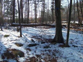
The trail soon narrows again
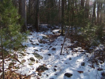
and becomes more difficult to hike.
Many roots and rocks litter the trail.
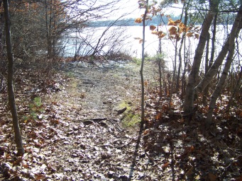
It continues to run along side of the pond
opening up to views at times
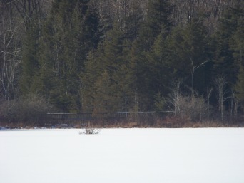
continuously allowing the hiker to view the islands
and different parts of the state park.
LOOK CAREFULLY YOU CAN SEE THE REMOTE BOARDWALK ACROSS THE FROZEN POND.
If you happen to be wandering on these hiking trails on a Sunday, you will hear gun shots in the near distance.
That is the sound of target practice at the Holbrook Gun and Rod club located on North Quincy St just into Holbrook.
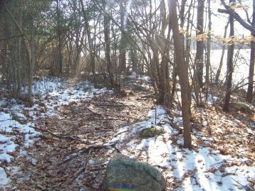
The trail continues winding along the shore and increasingly more root bound and rocky.
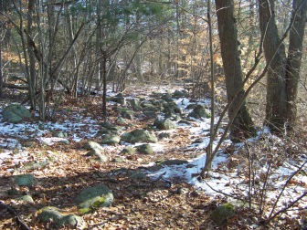
This is where those who chose to mountain bike on this portion of the dog walk trail find that it is difficult to finish to the end.
It is difficult enough just walking at this point!
Fortunately there are many side trails that lead up hill to the original "road". Some though, are quite steep.
The trail leads by a couple of interesting depressions in the earth. Were they formed by ice broken off from glaciers in the area or simply from erosion of running water after storms and snow melting in the spring??
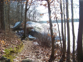
The trail separates in two around one of these depressions.
Then the trail leads to a large boulder that is a popular fishing spot in the warmer months.
Take note:
this section of the trail in the warmer months will have a considerable amount of bugs due to how close to the pond it runs.
Not long after the fishing rock the trail will open out to the other side of the boy scout pavilion.
There is a trail that will bring up up to that if you wish.
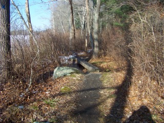
The trail continues over some more planks
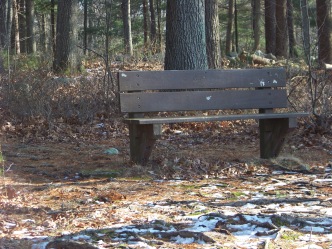
Finally the trail will end at the
main picnic area with a bench to rest at.
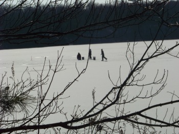
My winter day on the hiking trails included watching some brave souls out ice fishing and skating.
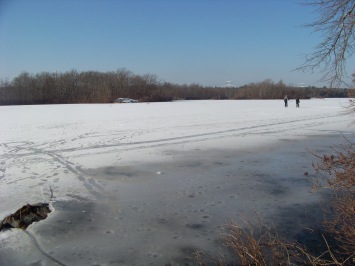
This hike is approximately 1 3/4 miles and usually takes about 45 min. (without stopping to explore)
To explore more of this park you can cross the picnic area and over the bridge and dam to more hiking trails.
- South Shore Hiking Trails ›
- Abington ›
- Dog Walk Trail
There is a comprehensive map of Ames Nowell on Maprika!
As well as several other south shore areas and more.
Get the app at App Store or Google Play. The map can be downloaded right to your smart phone.
Trail
Quick Facts
Directions:
From Boston heading south on route 93 to route 3 at split take exit 38 south on route 18 approx. 5 miles. Take right at intersection of route 139 (West). Take 2nd left on Lincoln and follow to end with a left on Hancock st. Take 2nd right on Presidential Dr. following to end and right on Linwood st. State Park is on the end of Linwood.
Parking:
Regular parking lot that can accommodate many vehicles.
Trail Time:
Short-Moderate; (45 minutes)
many trails whereby any length of time can be arranged depending upon hike chosen.
Difficulty:
Mostly easy
some areas along shore get very rocky or root filled.
Water sources:
Several, primarily Cleveland Pond. There are a couple seasonal water sources along this route.
Other activities:
The first leg of this journey is a dirt road. Good for cross country skiing. Snow shoe the whole route. Mountain bike the first leg.


New! Comments
Have your say about what you just read! Leave me a comment in the box below.